Before And After Satellite Images Reveal Extent Of Destruction In Gaza

The United Nations Institute of Training and Research have collected images from the Pleiades satellite showing destruction in Gaza following Israel's Operation Protective Edge.

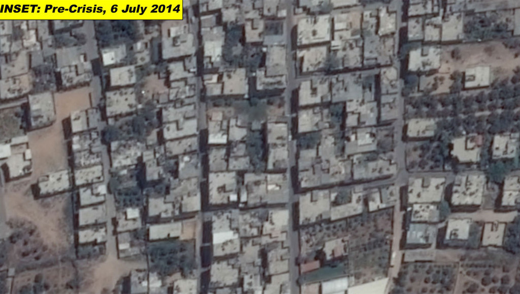
Satellite-detected destruction in the northeastern portion of the Gaza strip, taken on 6 and 25 July 2014.

Unitar / Creative Commons / Via unitar.org

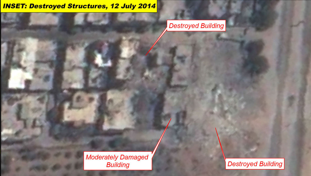
Satellite-detected destruction in areas of Nuseirat, Al Burayj and Al Ruwaydah of the Gaza strip, taken on 6 and 12 July 2014.

Unitar / Creative Commons / Via unitar.org

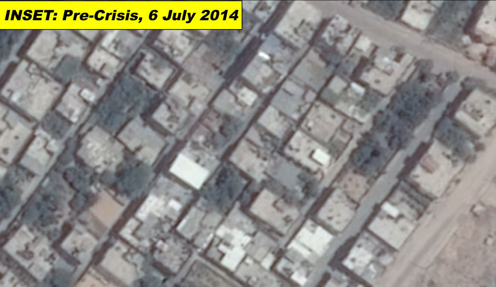
Satellite-detected destruction in the Beit Hanun, Gaza Strip, taken on 6 and 25 July.

Unitar / Creative Commons / Via unitar.org
Skip to footer